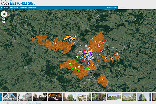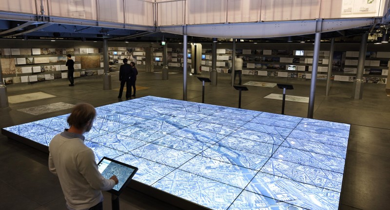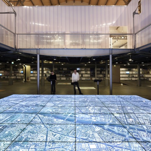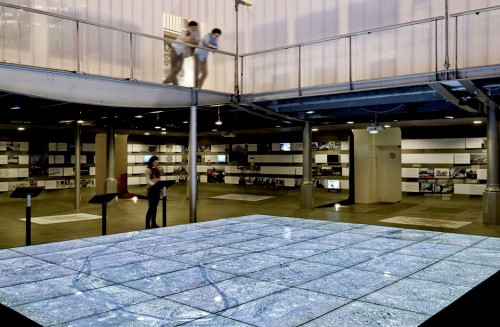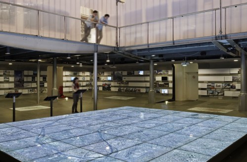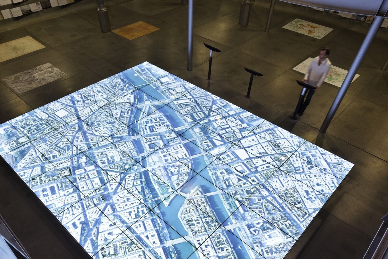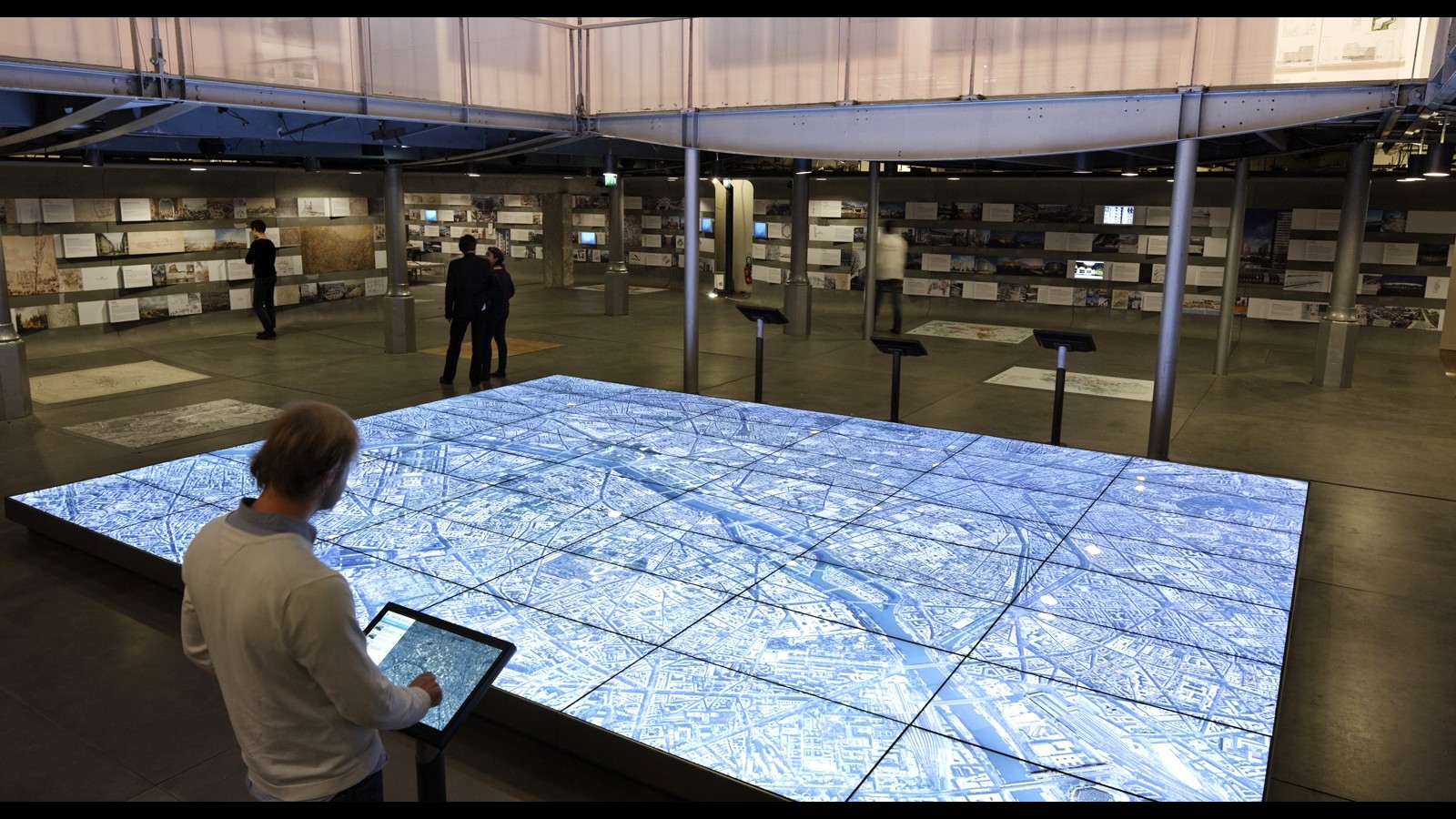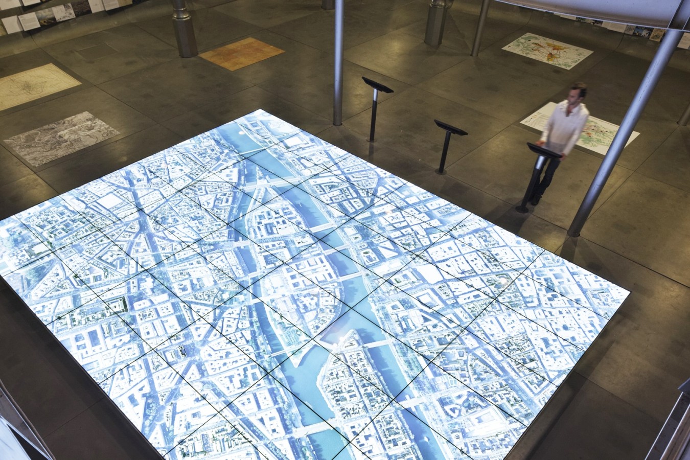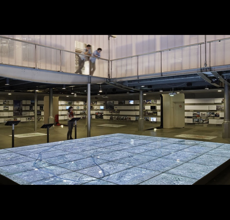


This 37m2 digital model, entitled “Paris, Metropolis 2020”, is developed in partnership with Google and JCDecaux.
The digital model is a world first, providing a 2D or 3D overview of key areas marked out for redevelopment, the new transport networks and the iconic architecture of the city of tomorrow in their geographical context. Using Google Earth technology and mapping software, “Paris, Metropolis 2020” provides visitors with a unique interactive experience and an opportunity to discover the city on a multitude of scales, with thematic or free tours. The model is designed to be constantly updated. It is participative tool bringing together all those involved in the making of the city and allowing them to share their work.