"Where am I?," one wonders. "You are here", replies the map we consult in the street or in the metro.
These maps, that reassure and situate, are a familiar feature to city dwellers. They provide us with a great deal of information and at the same time, offer a recognizable image of the world and of the city in which we move about.
These representations are so familiar to us that no one is surprised by them, nor by their shapes, their scales or their multiple purposes. Yet the maps, which are projections of a territory, belong to a rich history and for a long time were an instrument of control and domination, as their use was once reserved exclusively to those in power.
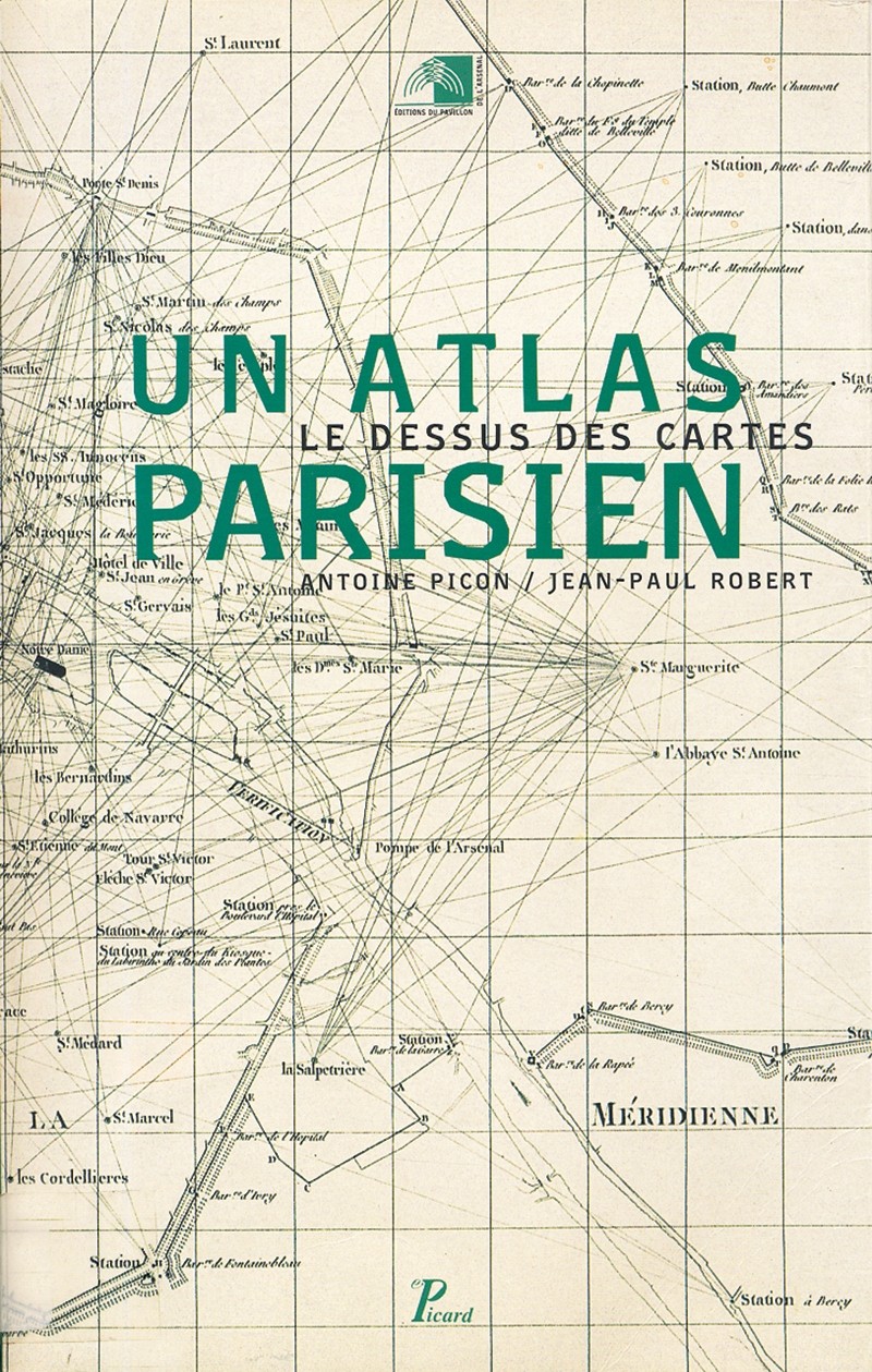
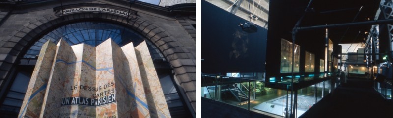
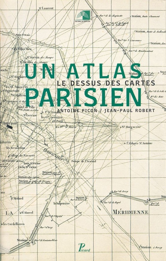
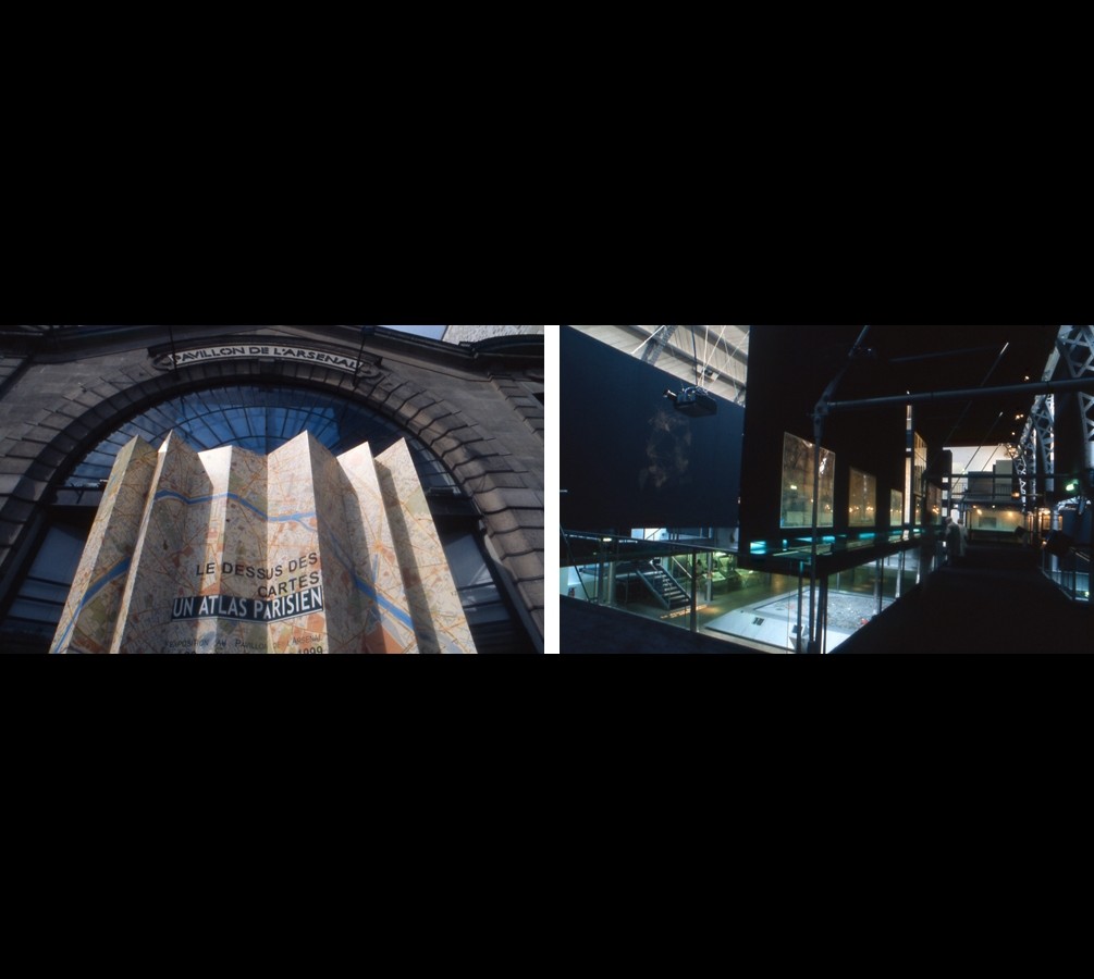
This history of representation, which was presented as a series of still shots, reveals the history of urban growth in Paris. From the first "portraits" of the Renaissance to measured maps or atlases which characterized the 19th century to modern mapping tools used to manage current networks and flows, this history deserved to be recounted. The exhibition made an effort to bring together original documents that are rarely seen and even more rarely assembled.
The map as an instrument for representing reality is the result of an extraordinary mental projection. It is a tool for cultural investigation, action and projects, even though those who use one are not always aware of it. This collection of "graphic photographs" gave visitors a chance to take a disturbing, virtual walk through the history of Paris.
These representations are so familiar to us that no one is surprised by them, nor by their shapes, their scales or their multiple purposes. Yet the maps, which are projections of a territory, belong to a rich history and for a long time were an instrument of control and domination, as their use was once reserved exclusively to those in power.
This history of representation, which was presented as a series of still shots, reveals the history of urban growth in Paris. From the first "portraits" of the Renaissance to measured maps or atlases which characterized the 19th century to modern mapping tools used to manage current networks and flows, this history deserved to be recounted. The exhibition made an effort to bring together original documents that are rarely seen and even more rarely assembled.
The map as an instrument for representing reality is the result of an extraordinary mental projection. It is a tool for cultural investigation, action and projects, even though those who use one are not always aware of it. This collection of "graphic photographs" gave visitors a chance to take a disturbing, virtual walk through the history of Paris.